Local Bay Area
Creek / Arroyo
Tours


Most REcent Local Tours:
Hidden Waterfalls
of the East Bay ~
Las Trampas Creek /
Lamorinda Watersheds

nearby local tours!
Next Bay Area Watershed tour:
Sunday March 8, 2026
or Sunday March 22
2:30-5:30p
Hidden East Bay Waterfalls Tour ~
Lamorinda + Las Trampas Creek
MEET YOUR CREEK!
REGISTER HERE
for Our Next Local Tour:
Hidden Waterfalls
of the East Bay:
Las Trampas Creek
/Lamorinda
Sunday March 8, 2026
or Sunday March 22, 2026
2:30 to 5:30pm
Adults: $45 ~ Kids free with accompanying adult.
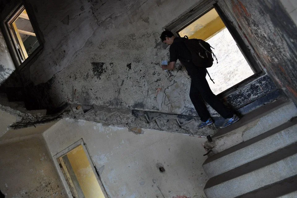
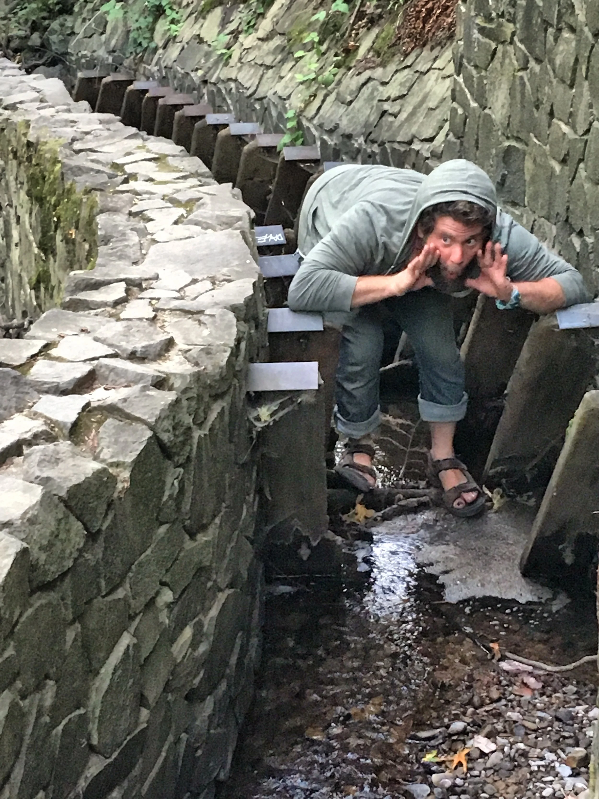
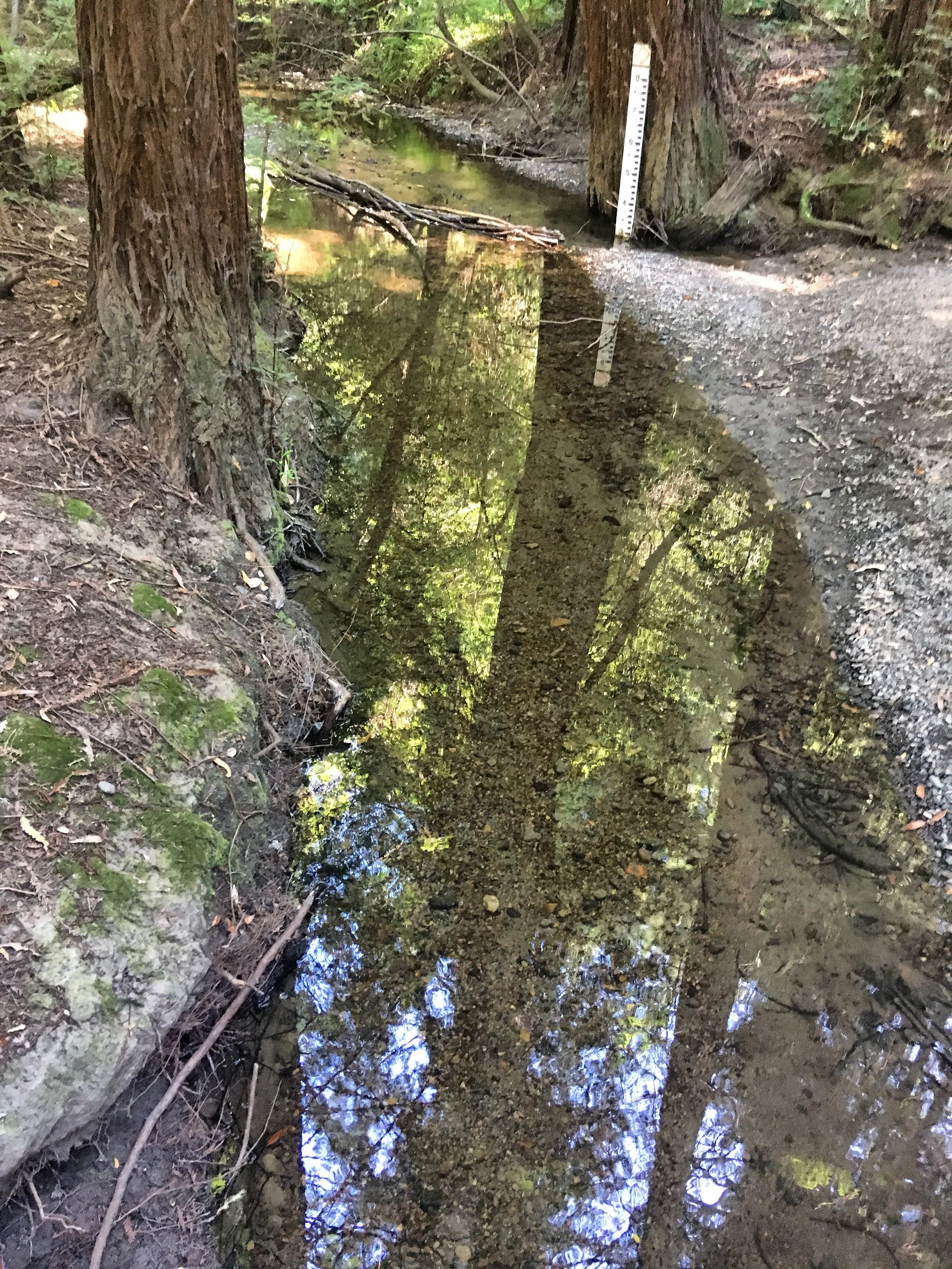
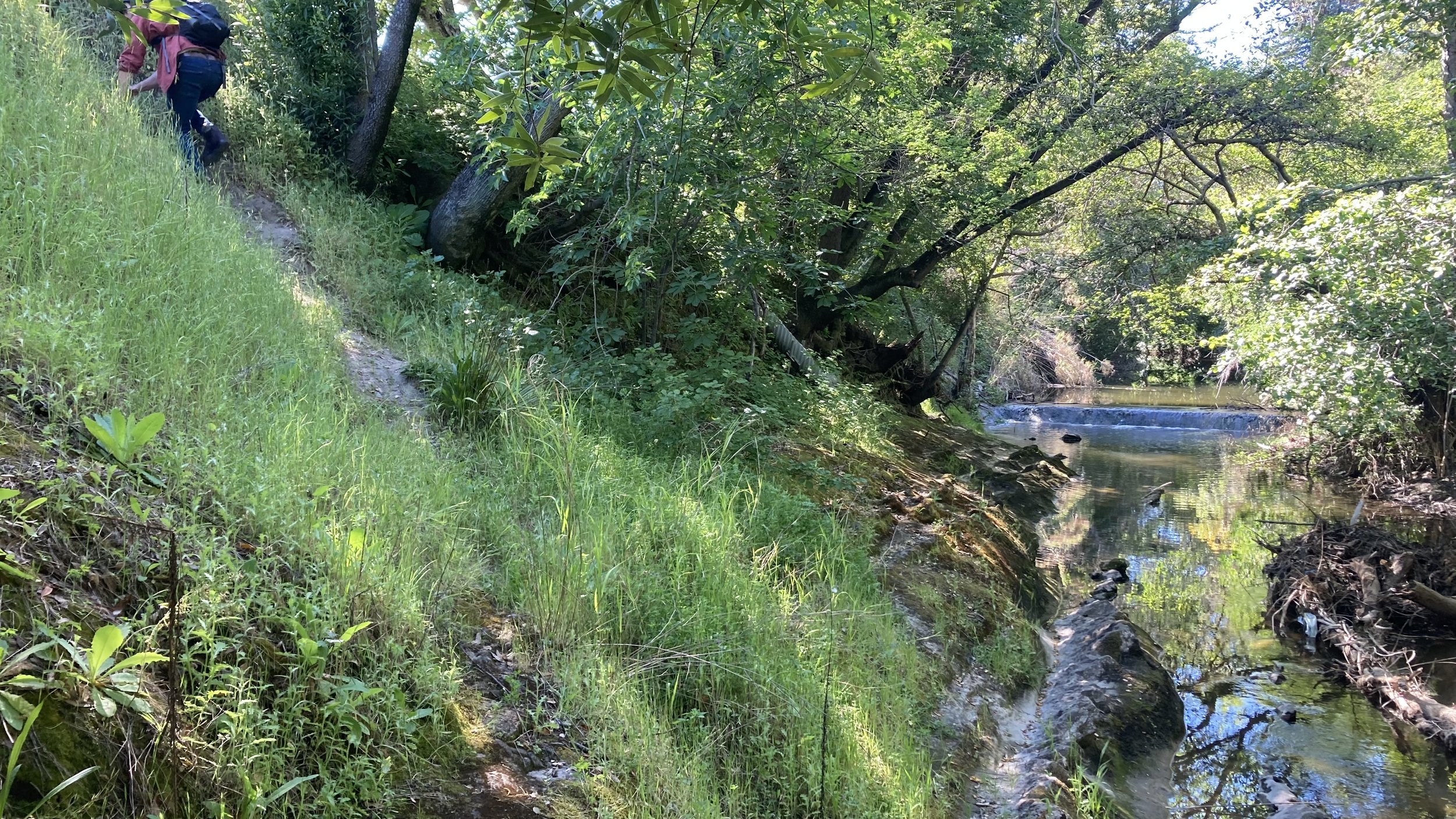
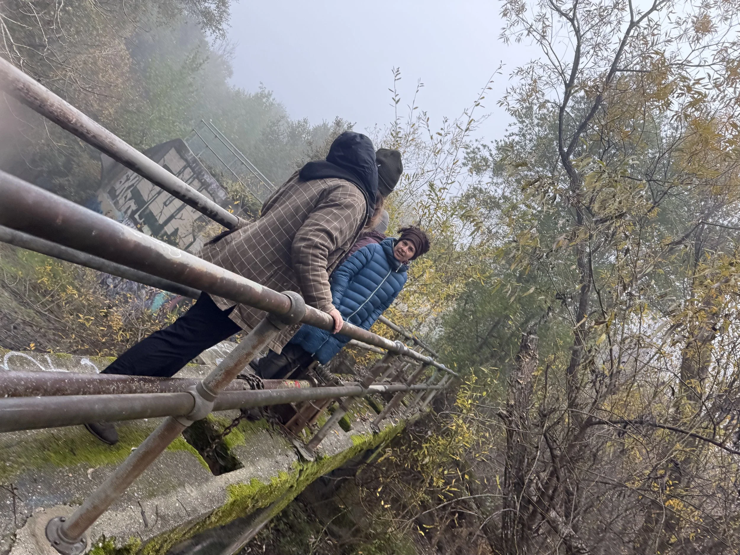
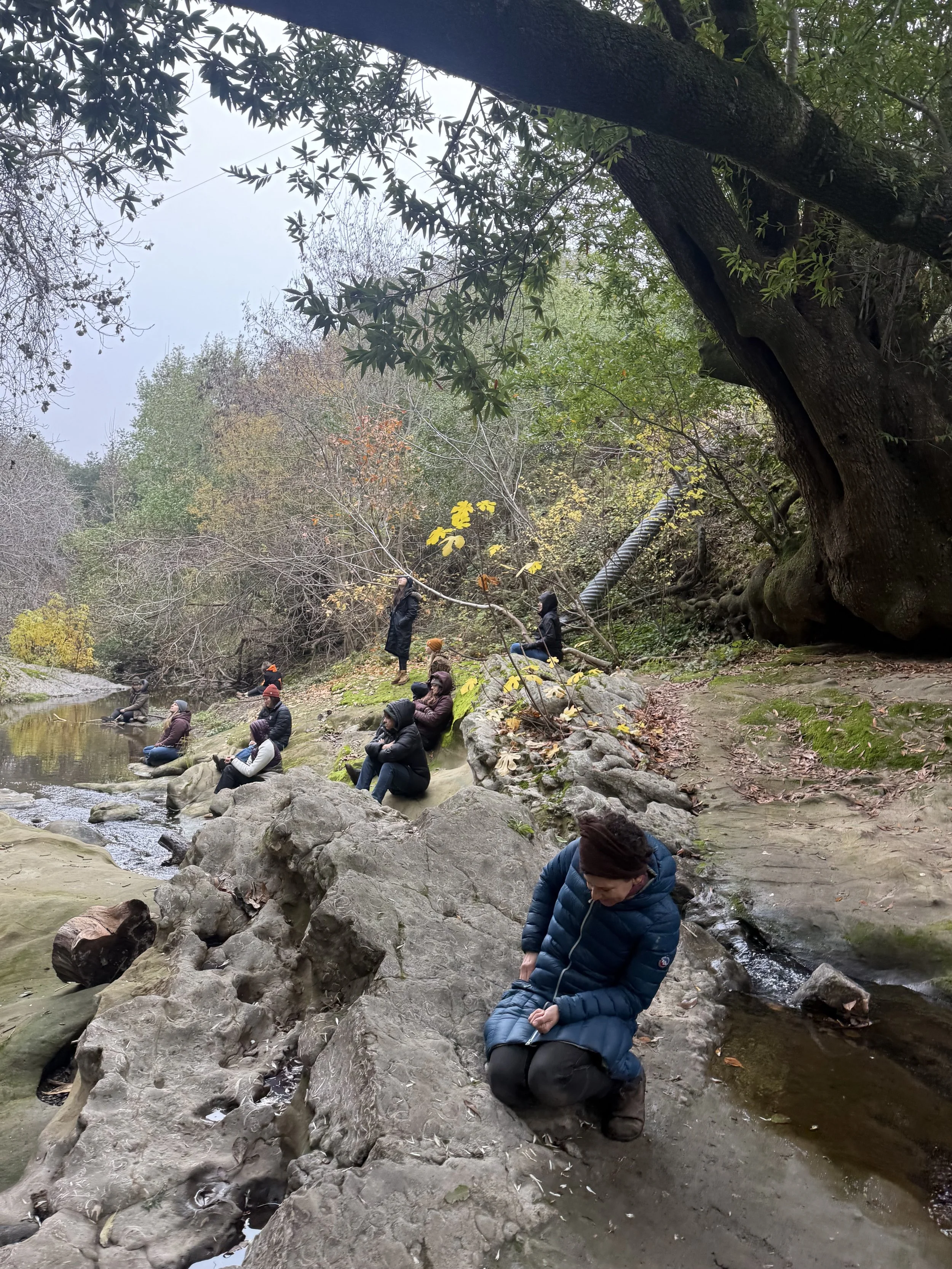
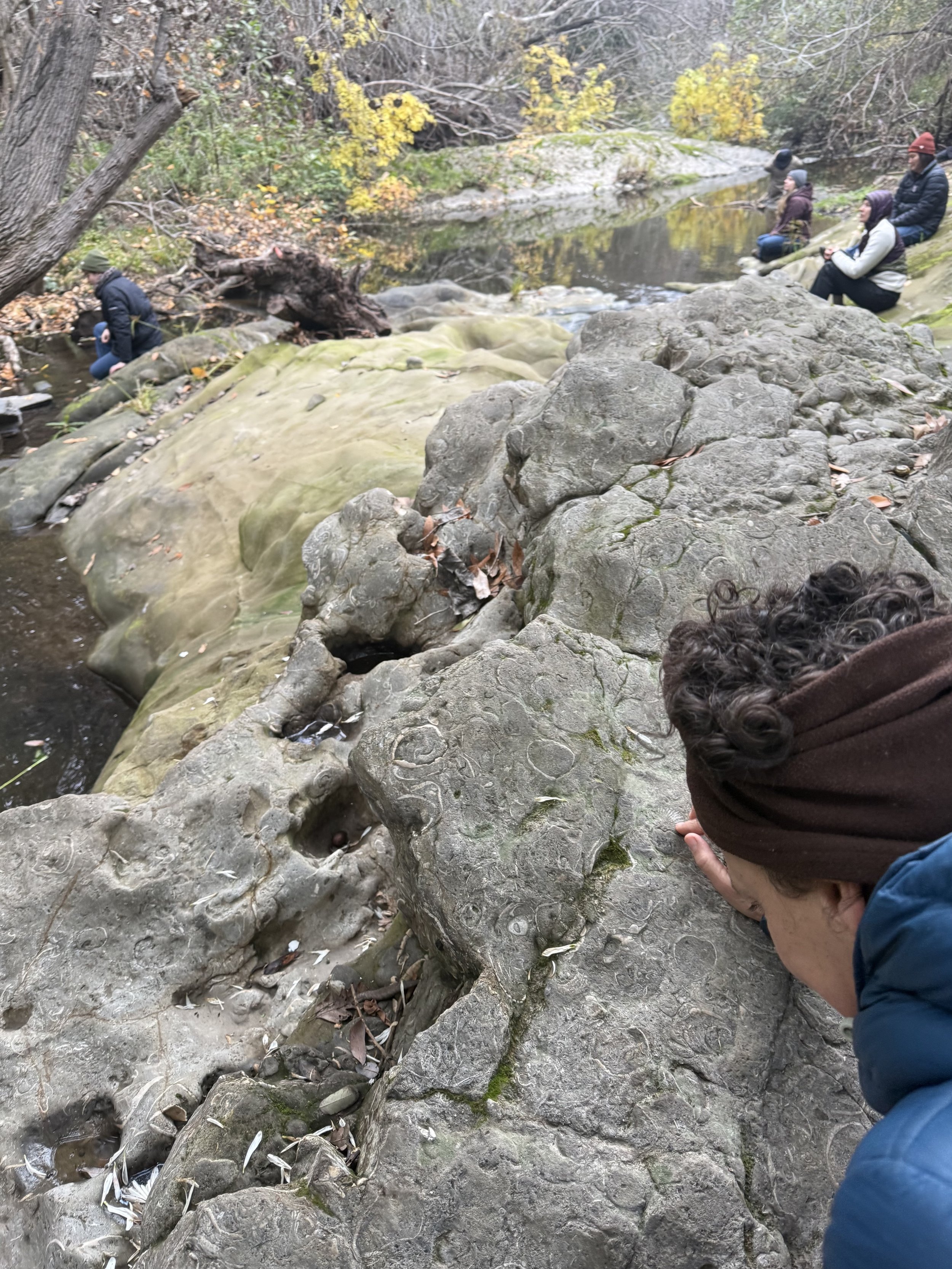
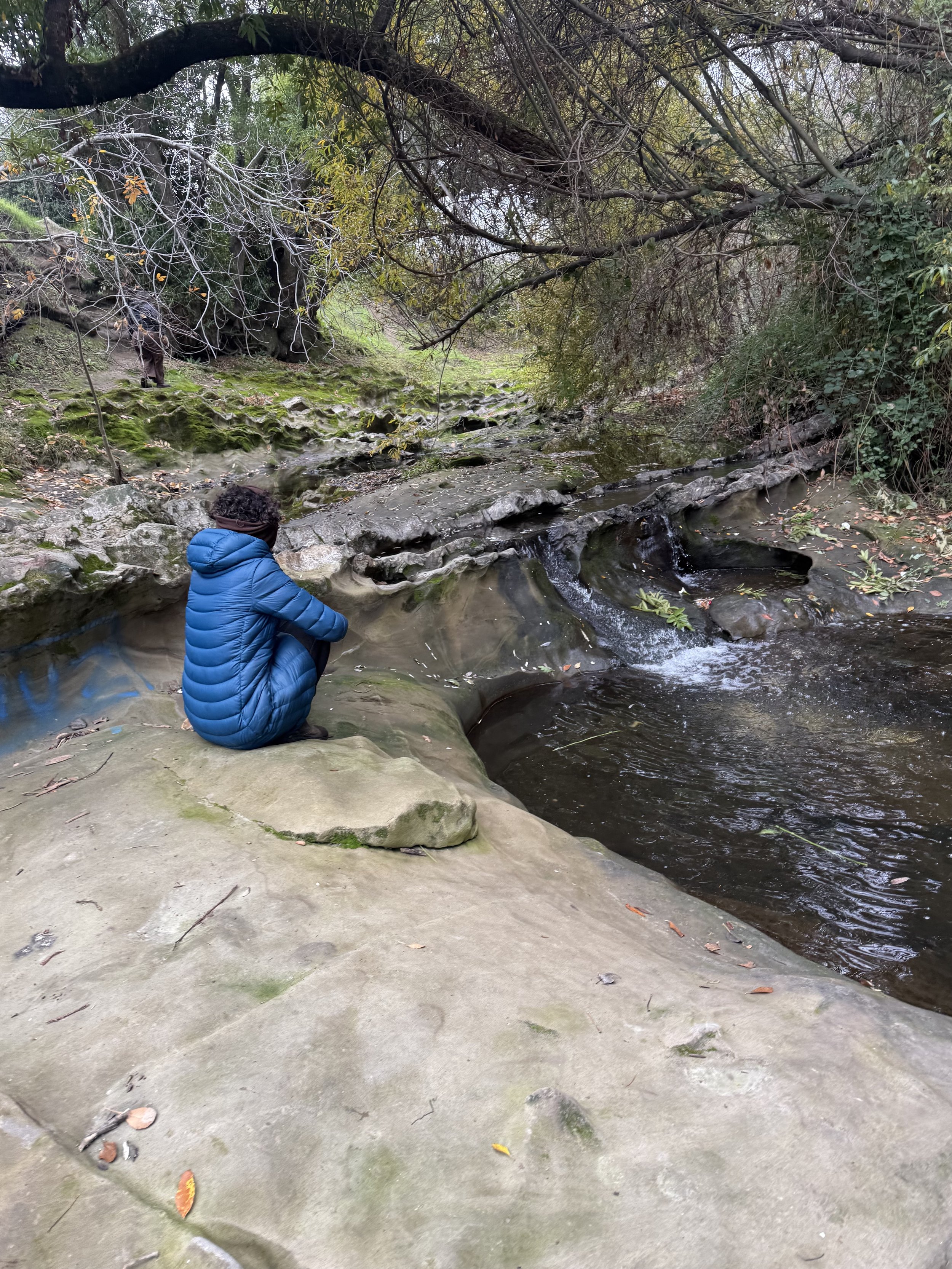
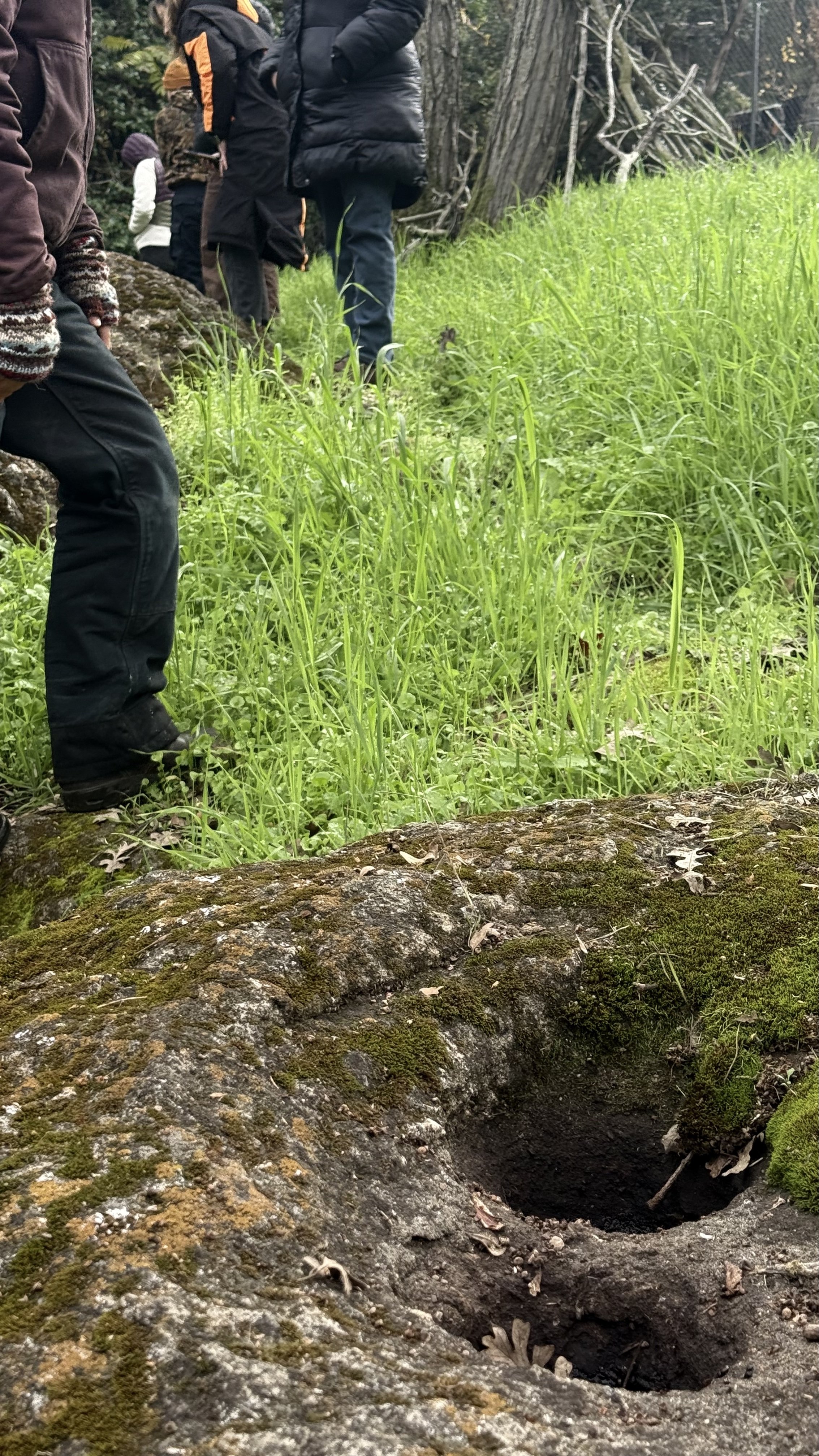
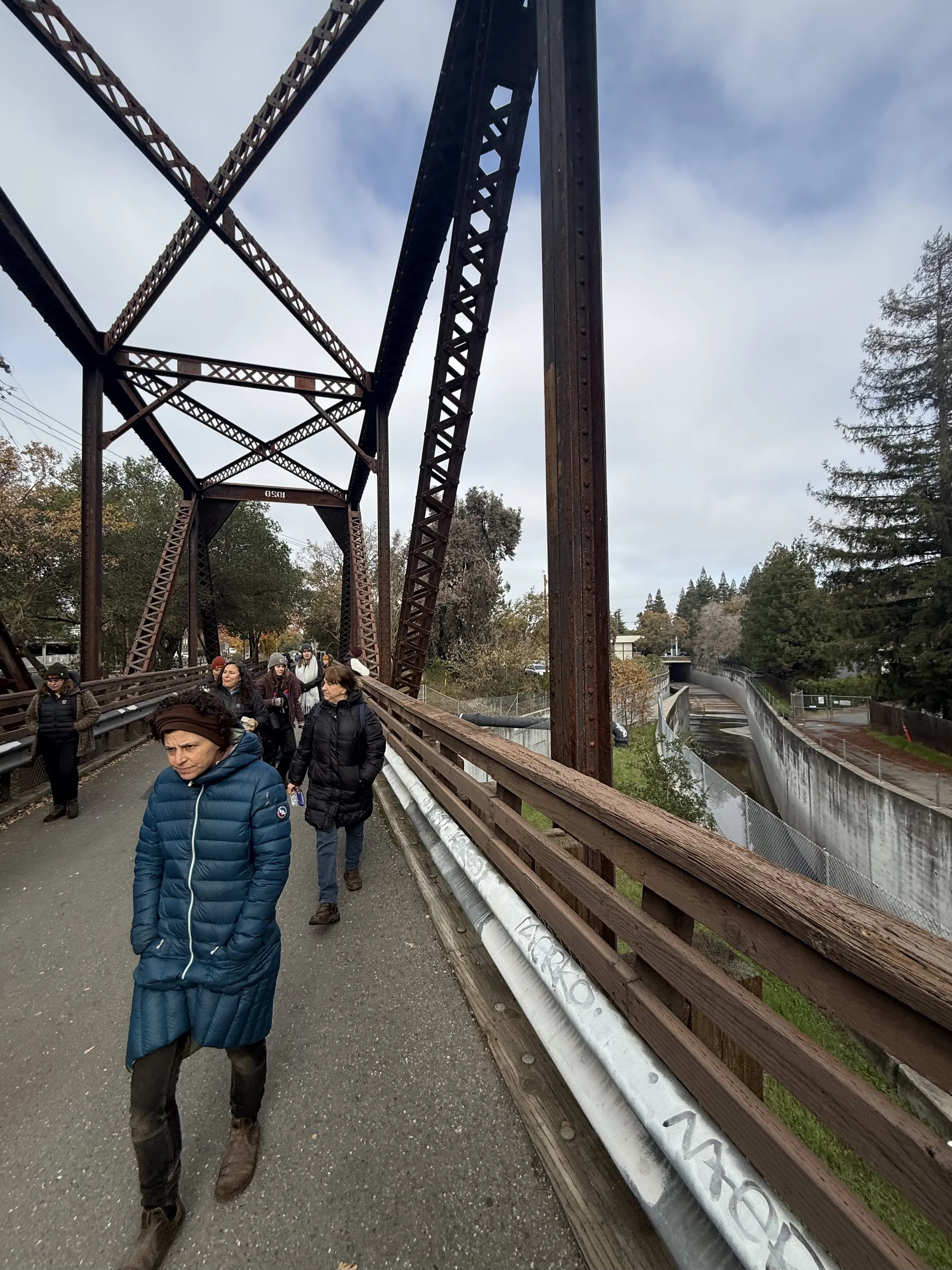
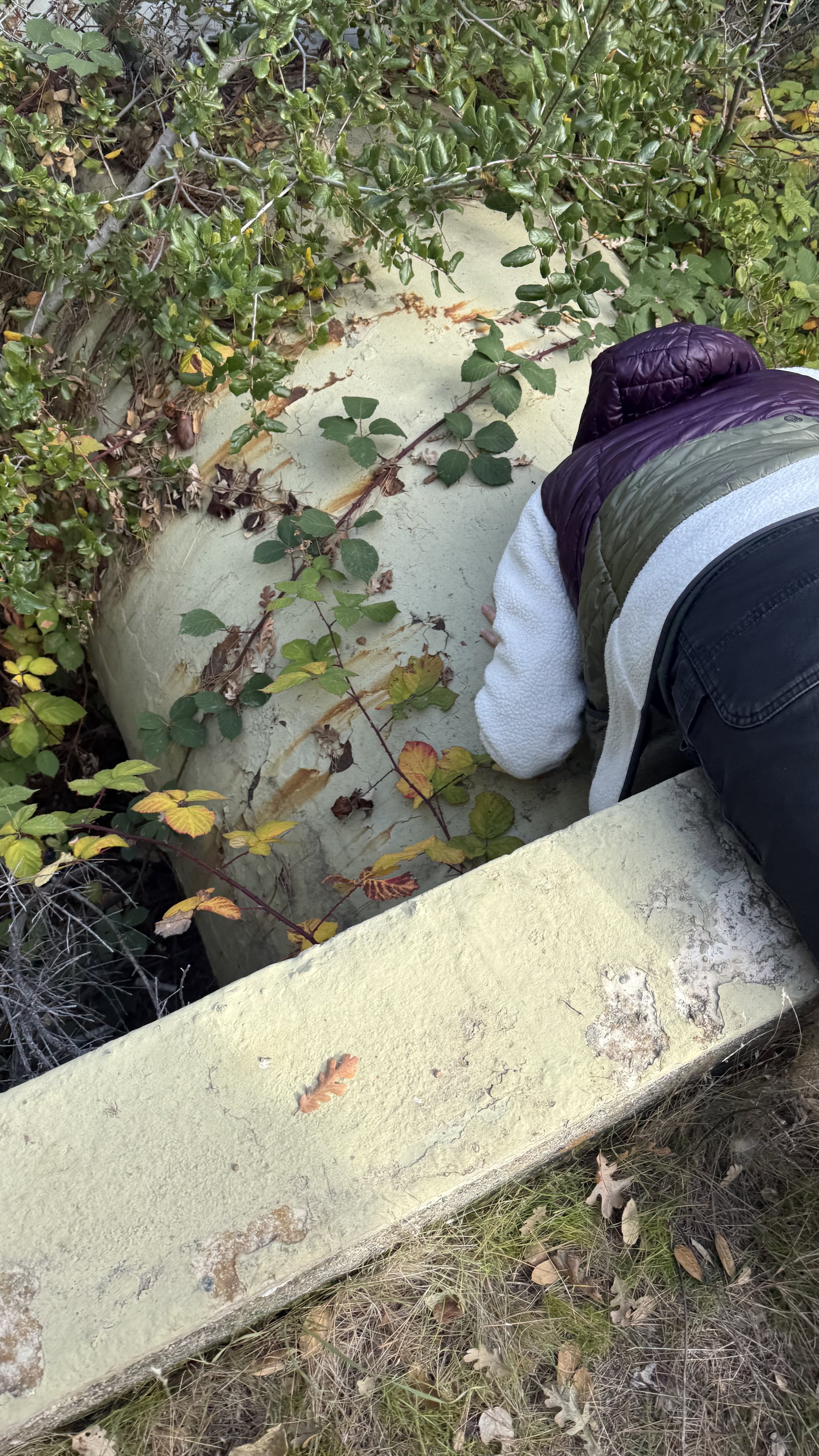
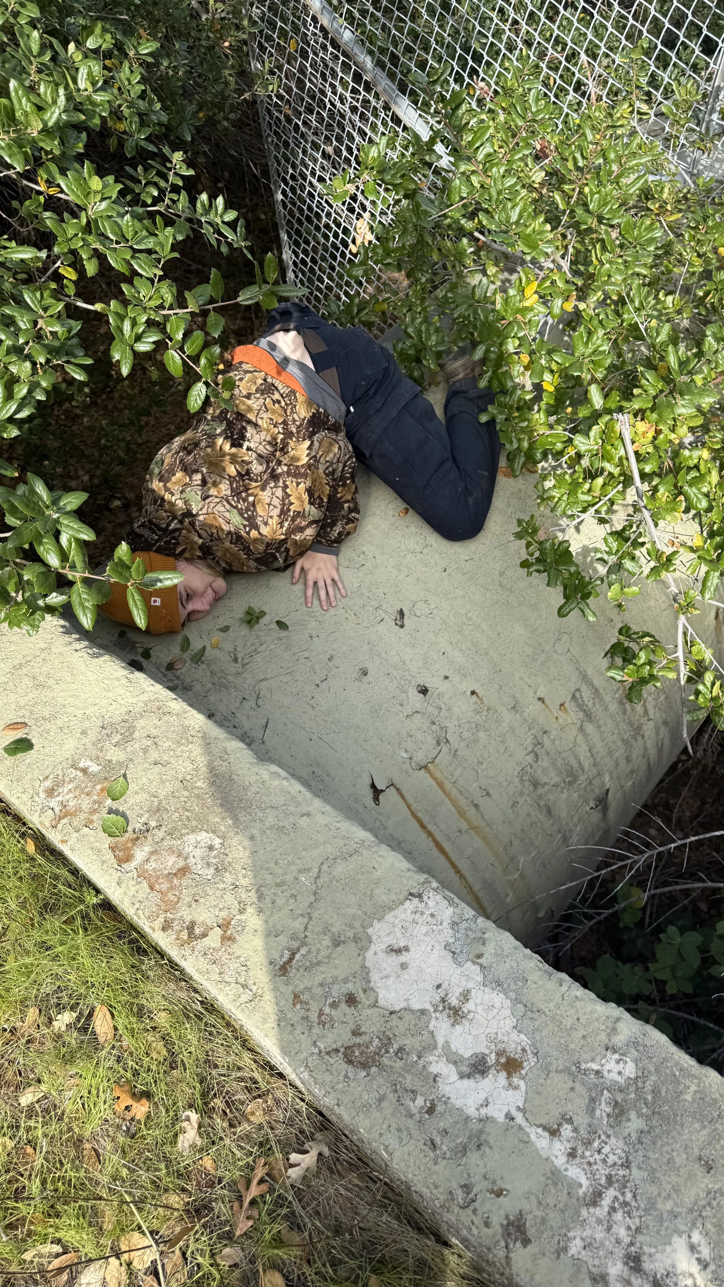
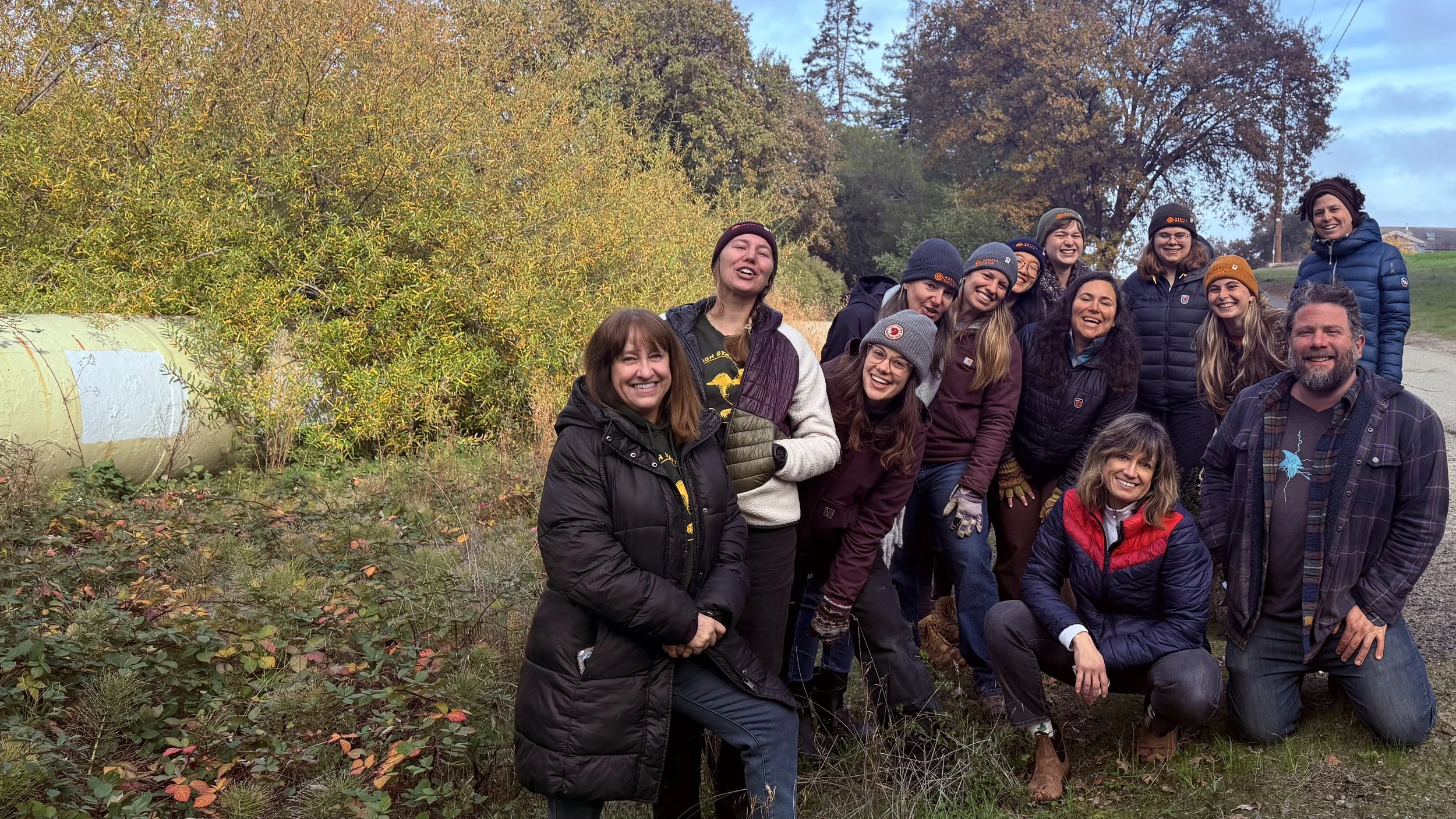
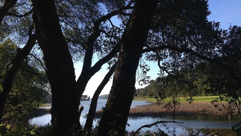
Las Trampas Creek flows from Rocky Ridge’s tafoni-weathered peaks within the Las Trampas Wilderness, through Moraga and Lafayette, where it’s joined by Grizzly Creek, Lafayette Creek through downtown, and finally Tice Creek before joining the confluences becoming Walnut Creek. On our 3 hour tour we can check out ~
The graffitied outflow of St. Mary’s
College’s long-lost Lake LaSalleThe ripples and fossils of an ancient seabed
along Bollinger Canyon bluffsThe confluence of Las Trampas and Grizzly Creeks
The dramatic down-flow by Las Trampas swim club, and 500 yr old remnant oaks in the Burton Valley neighborhood.
The Saclan native village grinding rock near Rossmoor.
Olympic Staging Area waterfalls.
The confluences where 4 creeks become Walnut Creek
If there’s time and interest:The visible Mokelumne Aqueducts, near Walnut Creek Water Treatment Plant, that bring precious drinking waters.
The hospice labyrinth along Murderer’s Creek at Brookwood Park.
Hidden waterfalls where Bear Creek flows into Briones Reservoir.


Other Recurring
Local TourS:
San Francisco’s
still trickling
histories
replenish our responses
towards torrential futures
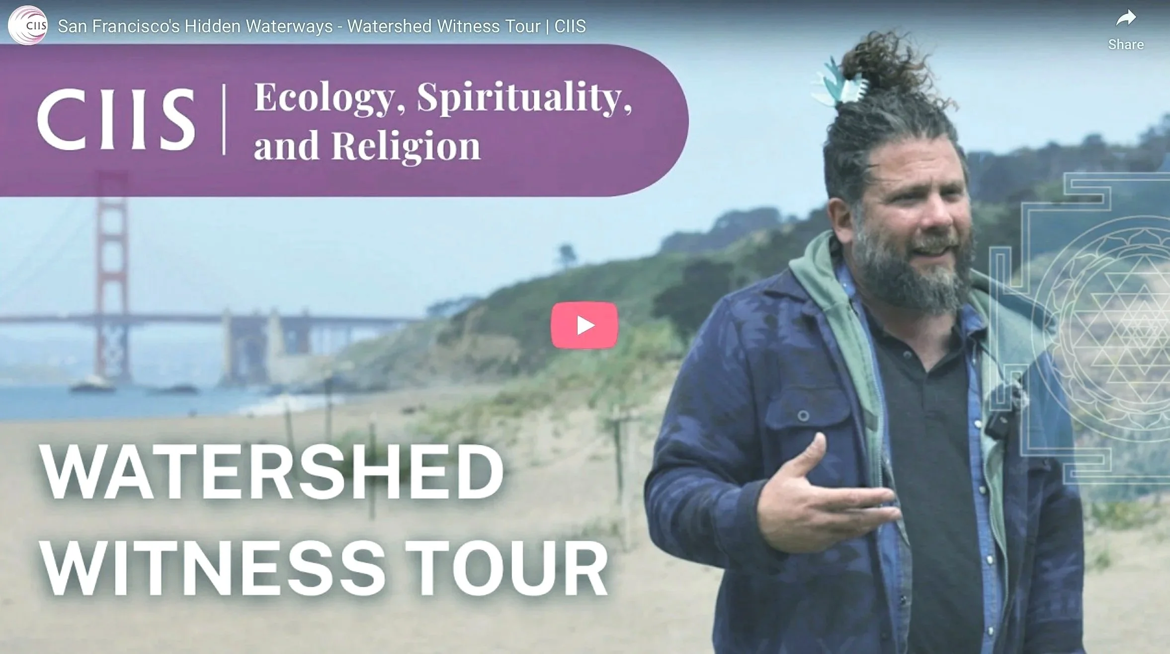
California Institute
of Integral studies
Religion and Ecology Summit:
Sacred Waters of the World
3.5 Hour SF City Tour
April 23, 2025 ~ 1pm-4:30pm

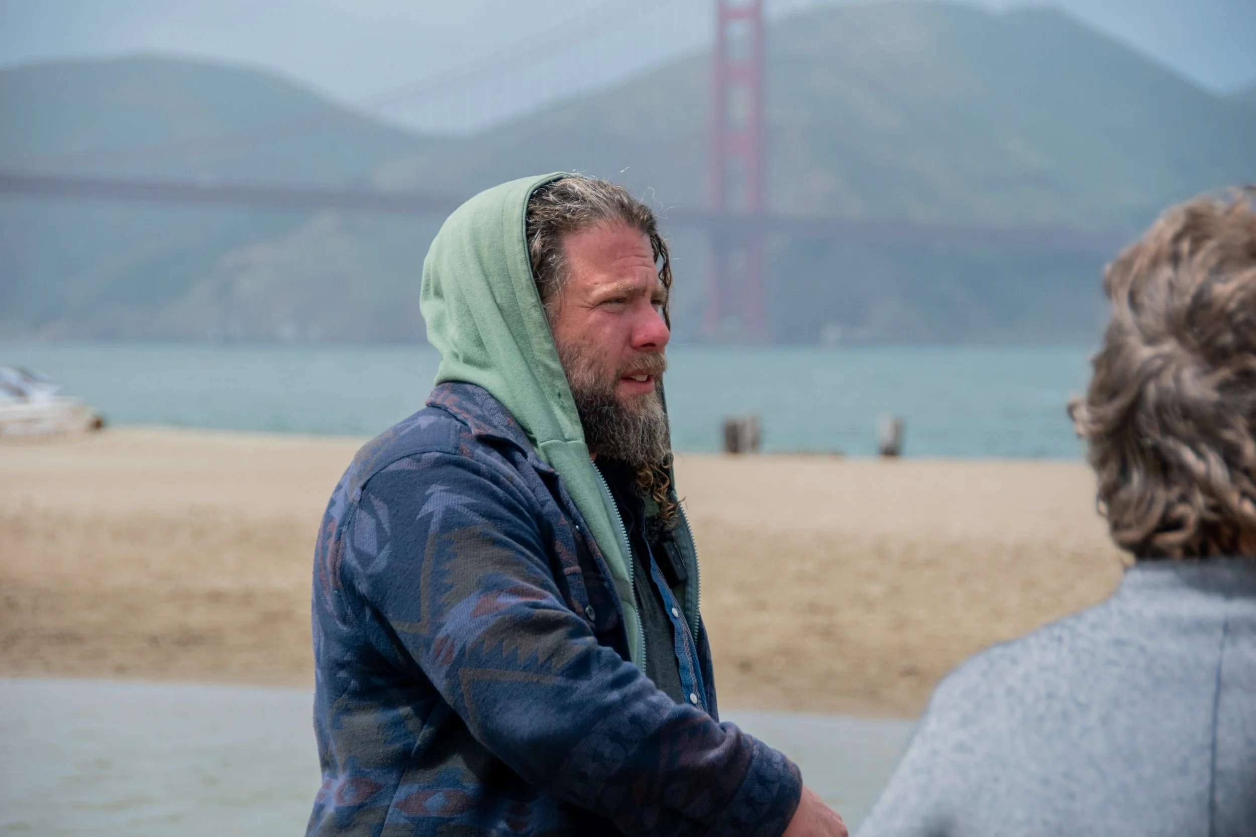


Fresh waters still flow below San Francisco's city streets ~ trickles and seeps reveal hidden histories, unquenchable struggles for justice, and replenishable responses towards the potentials of torrential futures.
This event was the in-person portion of CIIS’s Sacred Waters of the World Summit put on by the Ecology Spirituality and Religion department. Ripples cast by CIIS videographers Nelson Melgar and Emma Ancel.
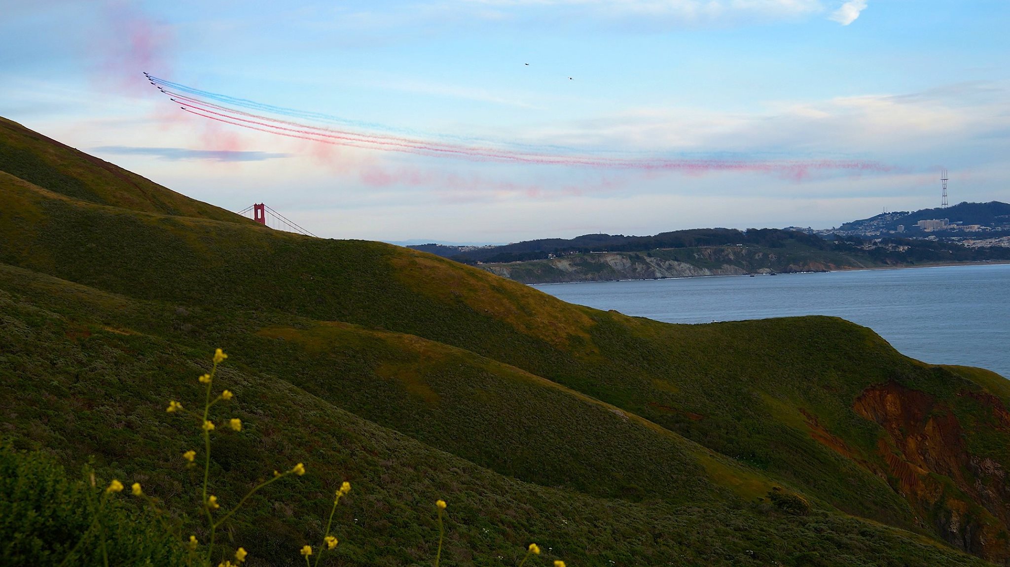
The tour begins where Lobos Creek (still used as local fresh drinking water for the Presidio) flows into the Pacific Ocean at Baker Beach, then our car caravan crosses above the Golden Gate Bridge, to the restored marsh at Crissy Field ~ the final fresh water to join the complex confluence as half of California’s rivers have merged to form SF Bay, just before they all become the Ocean.
Upstream through the Presidio, along Petlenuc Creek in Tennessee Hollow Watershed, there is a still bubbling spring called El Polín, as well as the adobe remains of Juana Briones’ homestead ~ the founding mother and curandera of San Francisco.
Crossing the city to Alamo Sq, just uphill from the Full House house, we traced the seeps that initiate Hayes Creek, flowing mostly underground but with some surprising above-ground splashes, downstream to their outflow channel at Mission Creek Park.
Green Life Project
and Whale Tail
Grant: 2022-23
Watershed Witness Tours
in partnership with
the Green Life Project
through a Whale Tail Grant
from the California Coastal Commission
Connecting confluences
of access
across shared
and threatened
water sources
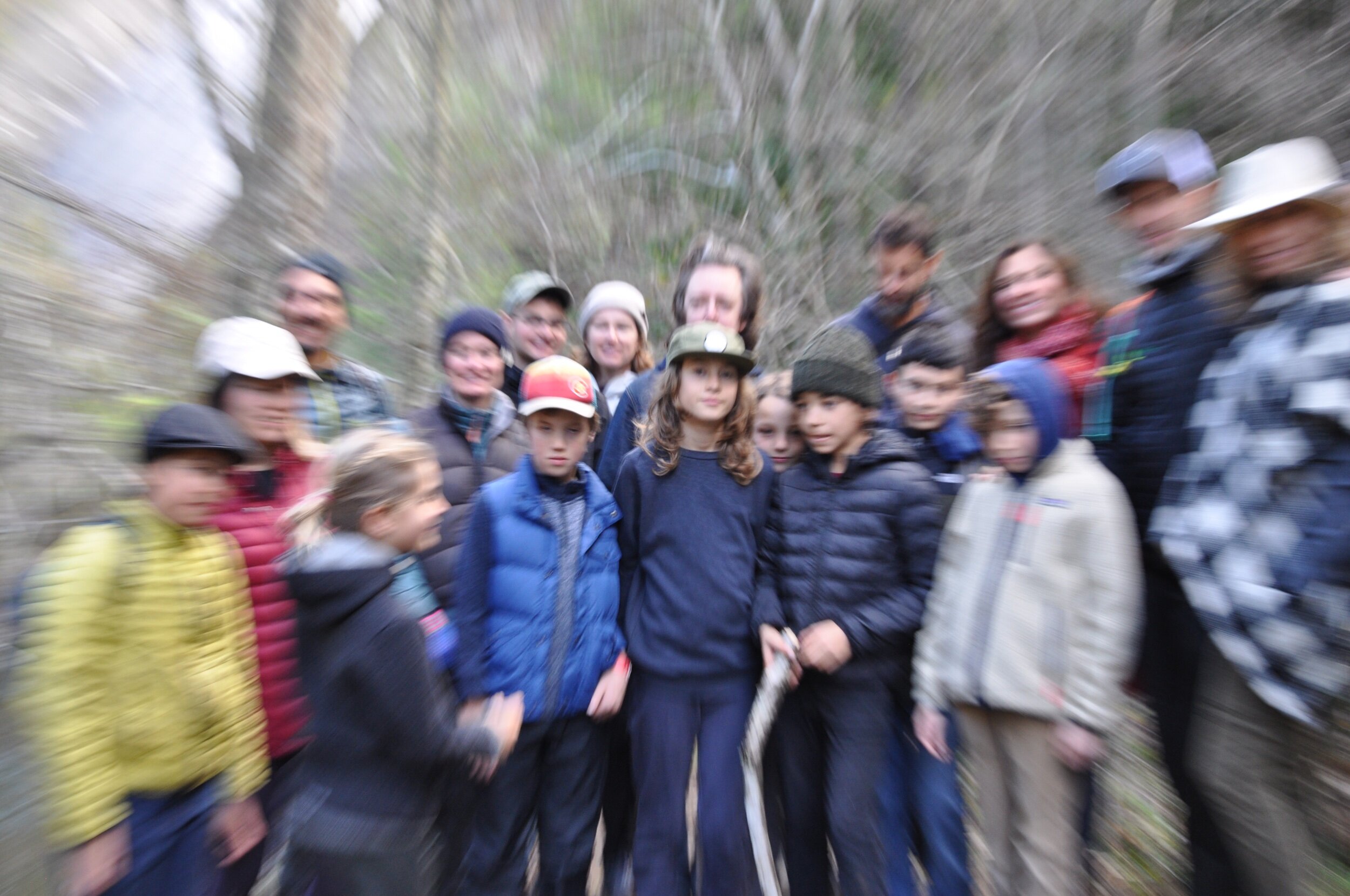
Creating curriculum with formerly incarcerated women from Central California Women’s Facility, and East Bay and SF high school students through local outdoor watershed events ~
Below on this Local Tour page, please explore covid-era Live Streamed Live Streams and Water-in-Place Self Guided Tours, as well as videos/descriptions from previous Watershed Witness Local Creek/Arroyo Tours.
Live Streaming
Live Streams:
Collaborations between
Watershed Educators 2021
At the mouth of Temescal Creek and the Emeryville Shellmound. With Elizabeth Dougherty from Wholly H2O, Constance Taylor from East Bay Regional Park District, Zoe Siegel from Greenbelt Alliance, and Joshua Halpern from Watershed Witness
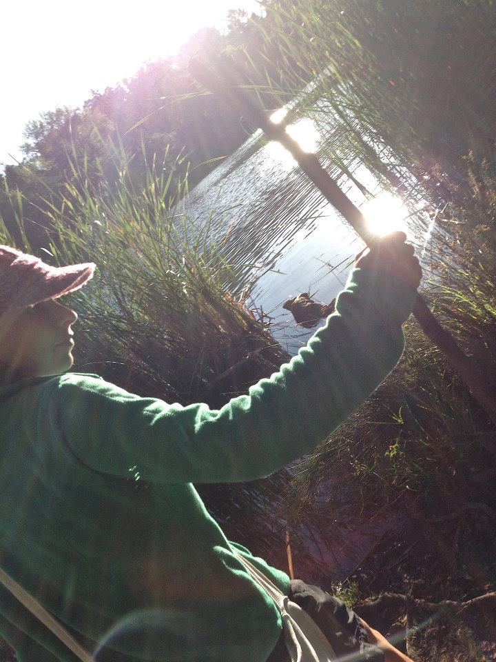
Location Scouting for Lake Temescal before the live streamed live stream.
Naturalist Constance Taylor and Metamorphosis Ecologist Joshua Halpern do a deep dive into Lake Temescal and the nearby headwaters of Temescal Creek.

Water-in-Place:
Social Distanced
Self-Guided
Local Creek Visits
Whenever’s Safe to Leave Your House: 2020-2021
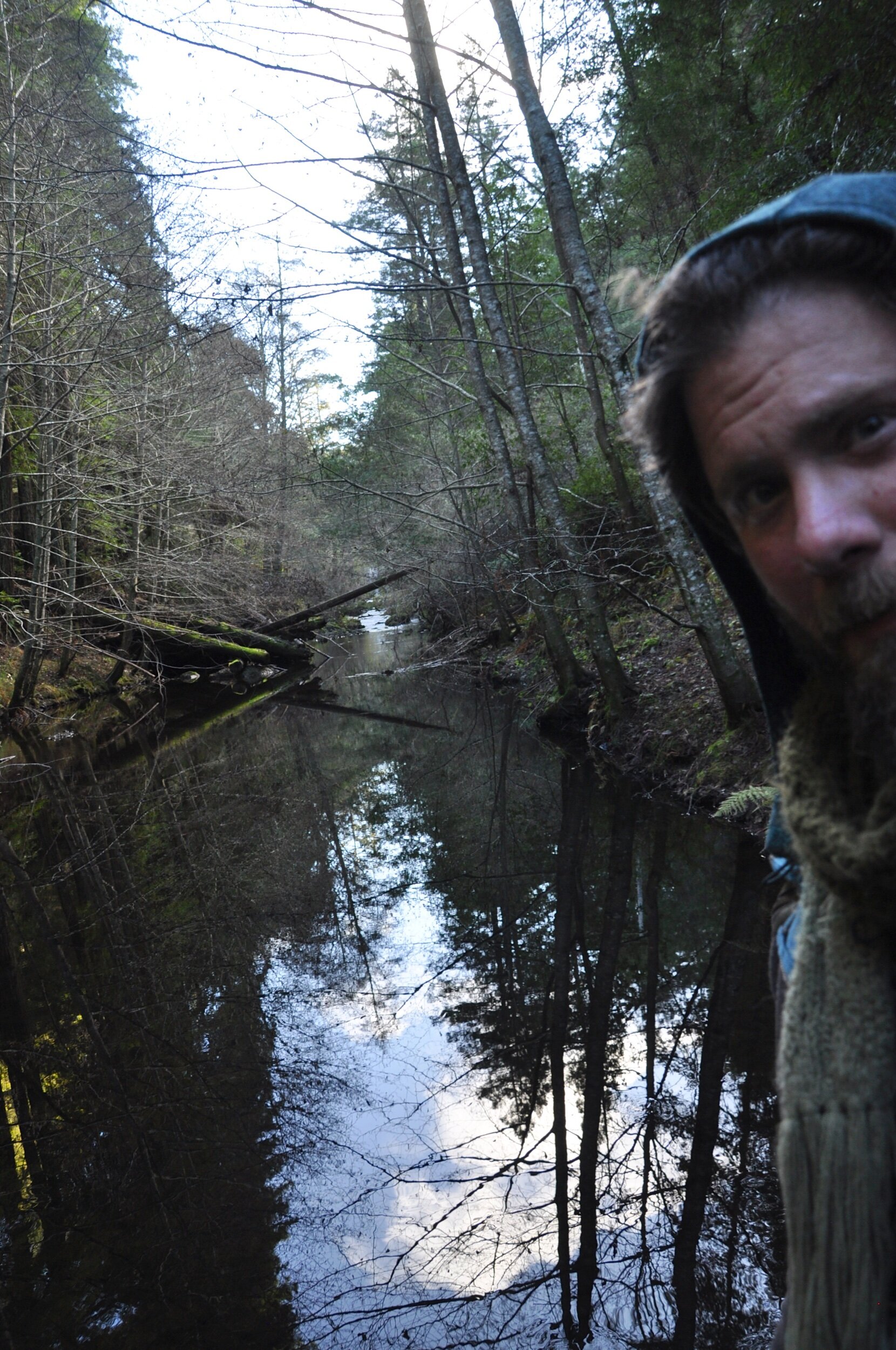
Watershed Witness Tours created chances to reconnect with local neighborhood flows on self-guided regional creek/arroyo visits during our time of shelter-in-place. These shorter tours feature a number of special lesser-known spots, unlikely to be closed or crowded, that can be visited on your own time.
A Few Previous Local
Watershed Witness Tours:
2015-2021
San Francisco:


SF’s Still Trickling History
3 Hour City Tour
8/8/21
We begin where Lobos Creek (still used as local fresh drinking water for the Presidio) flows into the Pacific Ocean at Baker Beach, then we’ll cross above the Golden Gate Bridge to the restored marsh at Crissy Field ~ the final fresh water to join the complex confluence after half of California’s rivers have merged to form SF Bay, just before they all become the Ocean.
Upstream through the Presidio, along Petlenuc Creek in Tennessee Hollow Watershed, there is a still bubbling spring called El Polín, as well as the adobe remains of Juana Briones’ homestead ~ the founding mother of San Francisco.
Crossing the city to Alamo Sq, just uphill from the Full House house, we will trace the seeps that initiate Hayes Creek, flowing mostly underground but with some surprising above-ground splashes, downstream to their outflow channel at Mission Creek Park.
East Bay:


SAN PABLO and BRIONES RESERVOIRS
LOCAL KAYAK TOUR
10/20/19
The drinking water that arrives in the East Bay via aqueduct from the Sierra-Nevada Mountains is stored in several local reservoirs. Two of them are tucked behind the Berkeley hills. On this tour we travel by boat (kayaks, canoes, pedal boats, and patio boats are available to rent) across the San Pablo Reservoir to where it meanders out of San Pablo Creek, with the option to disembark and hike up the spillway to Briones Reservoir, enjoy an eco-educational picnic, and hike/boat back.


OAKLAND/SAN LEANDRO
(LISJAN) CREEK
LOCAL WATERSHED TOUR
7/7/19
San Leandro Creek, reclaimed as Lisjan Creek by the Ohlone community that lived along its banks for thousands of years, stands out as an especially daylighted and protected creek in the East Bay, outflowing near Oakland Airport through one of the Bay’s last remaining marshes, meandering across urban flatlands which still draw from its local drinking water supply, pouring through Lake Chabot and the Upper San Leandro Reservoir, and beginning as trickling tributaries in Canyon and Moraga.
Some of our favorite tours have followed neighborhood East Bay flows ~ like Temescal Creek, which arrives at the Bay via the Emeryville Crescent (as the freeway i80 curves westwards towards the Bay Bridge, you’ll see diverse varieties of birds (and the fish and krill they love to eat) congregating throughout the outflow.


Marin:


SEARCH FOR SPAWNING SALMON/TROUT
LAGUNITAS CREEK, MARIN
LOCAL WATERSHED TOUR
1/12/20
Crucial habitat for the continuing health of endangered anadromous fish families nestle under redwoods amidst the sparkling tumbling pebbled banks of Lagunitas Creek. With enough rains, we can celebrate another round of redds, parents returning from the ocean to their original home on Mt Tamalpais’ forested flanks, beginning the cycle anew.


MT. TAMALPAIS/
CORTE MADERA CREEK
LOCAL WATERSHED TOUR
8/30/19
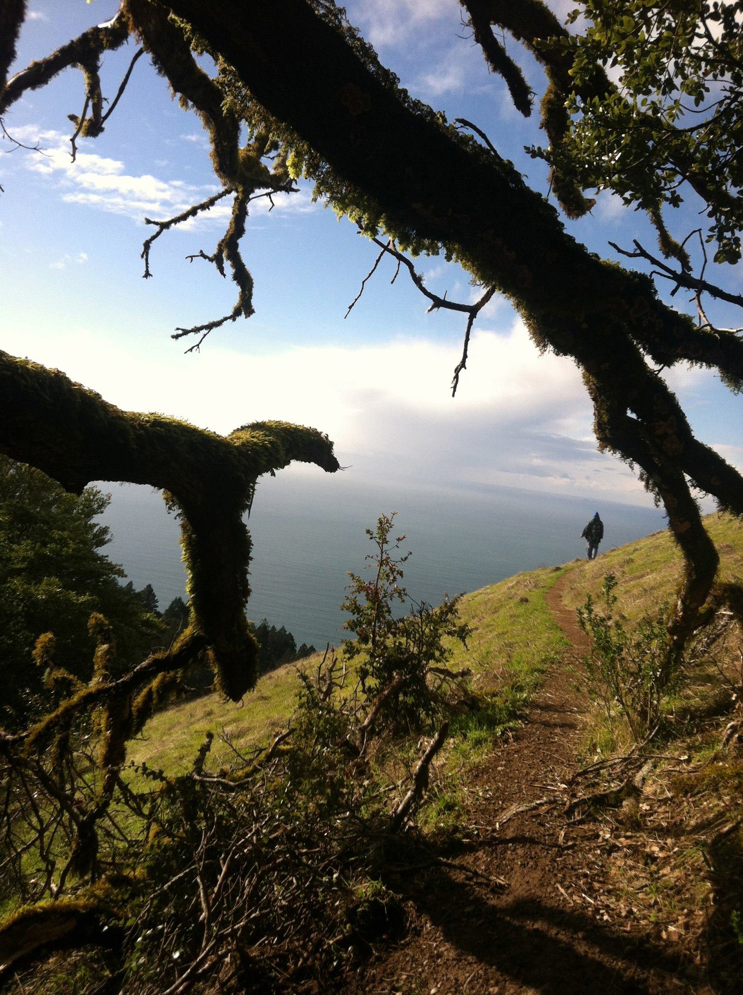
Seriously beautiful places surround Mt. Tamalpais, some fundamental to the continuing flow of drinking water for everyone on both the ocean and bay sides of Marin County. Lots of histories embedded and embodied here ~ from the encounter between Coastal Miwok and Sir Francis Drake, the chopped-off middle and western peak of Mt Tam which were replaced with nuclear missiles, to the rising and falling rates of breast cancer in Marin, all available explorations as we spiral around the mountain.
The North Bay flashes the full spectrum of watershed ecosystems ~ from marshes and mudflats to tide pools and steep redwood creek waterfalls! Even a beach that’s been overtaken by giant mating Elephant Seals since the government shutdown last winter.


South Bay:
Though it retains some scars from the silicon dumps of its past, as well as the shockingly vibrant colors of its seasonal salt ponds, there are multitudes of hidden eco-immersionary gems throughout the South Bay ~ ghost-towns, bird sanctuaries, secret below-surface ocean canyons as deep as those carved by the Mississippi or the Nile.
We’ll be expanding our South Bay selections into the 2020s, including:
~ Alameda Creek, the largest watershed that outflows into San Francisco Bay after the Sacramento/San Joaquin river system, from Sunol Regional Wilderness to the salt ponds near the Dumbarton Bridge.
~ Pescadero Creek watershed, halfway between Half Moon Bay and Santa Cruz, featuring for-real old growth redwoods, a magical marsh outflowing slowly to the Pacific Ocean, as well as several inspiring examples of watershed restoration.